Okinawa Central · Tsuken IslandNo.841★Open in map →
Tsuken Island
— The carrot island off the Katsuren Peninsula
A low farming island off the Katsuren Peninsula, where the crop and the landscape are the same thing. White sand along the west coast, a reef that dries out at low tide on the north, and a boat back to the main island before dark.
- FromHeshikiya Port, Uruma
- ~15 minHigh-speed boat from Heshikiya Port
- Get off atTsuken Port (Heshikiya route)
- On foot
- Tsuken Island
The sweet spot
Tsuken is not hidden. It sits within sight of the main island, and the beaches fill on summer weekends. What thins the traffic is the crossing itself: there is no bridge, so everyone arrives and leaves on the same boats, and the field roads belong to the island again once the afternoon sailing has gone.
Where it is
41 more notes in Okinawa · open the map →What to look for — in walking order
- Tsuken Portthe ferry pier on the west coast, with the village lanes starting behind the breakwater
- The village above the harbourshops, a post office and bicycle hire within a few minutes of the quay
- Tomai Beachthe long natural strand down the west side, with the campsite set back behind it
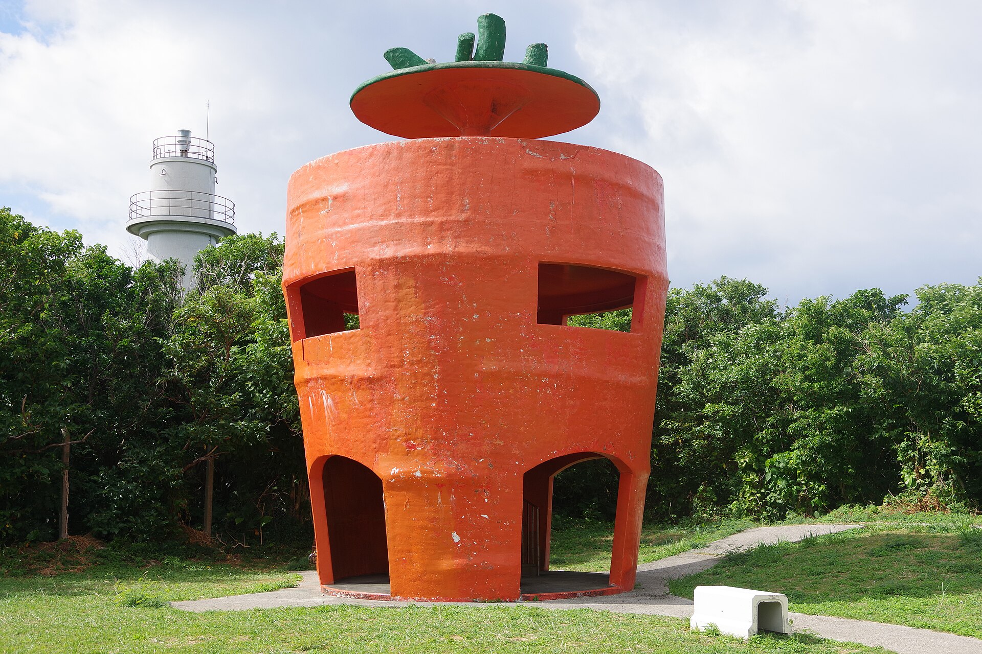
- Carrot-shaped observatorya viewing tower built in the shape of the crop, looking over the fields to the reef
- Yajiri Beachthe north-coast beach, where the shallows dry out toward the offshore islet at low tide
How to actually get there
- Naha or Okinawa City → Heshikiya Port, Uruma, at the end of the Katsuren Peninsula.
- Heshikiya Port → Tsuken Port (high-speed boat, about 15 minutes; the car ferry is slower).
- Tsuken Port → the village, then up the road onto the plateau and across the carrot fields.
- Loop the west-coast beach and the north-coast shallows, and be back at the pier for the last sailing.
- High-speed boat from Heshikiya Port
- Uruma, Heshikiya Port →(high-speed boat, about 15 minutes)→ Tsuken Port. The car ferry on the same route takes about 30 minutes. Both are run by the local operator out of Heshikiya, and the sailings are few enough that the day has to be built around them rather than the other way round.
- Return to Heshikiya Port
- The same boats run back. There is no bridge and no night crossing, so a missed last sailing means a night on the island. Read the return times on the board at Tsuken Port when you land rather than in the afternoon.
About the place
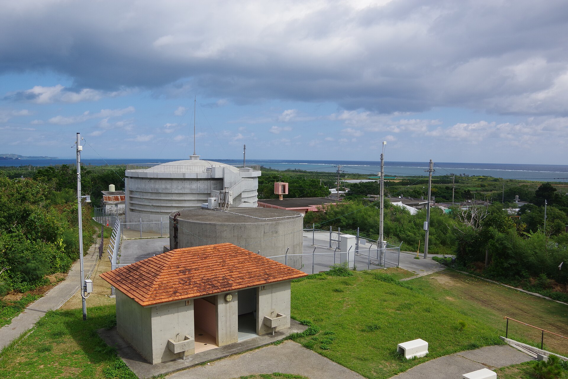
Tsuken lies off the tip of the Katsuren Peninsula, a low green table of an island under two square kilometres in size. Farmland covers about eighty per cent of it, and roughly sixty per cent of that farmland is planted with carrots. The crop is therefore the landscape. Field after field runs to the cliff edge with red soil showing between the rows, and the island has taken the name Carrot Island for itself. The observation deck standing among the fields is built in the shape of the crop. Beyond the last row the ground turns to white sand and shallow reef.
How to enjoy it
Take an early boat and let the tide, not the clock, order the day: the walk out toward the islet off the north coast only works once the water has pulled back. The island is flat enough to ride end to end, and a rented bicycle turns the fields from scenery into a route. Fix the last sailing in your head before you leave the pier.
Background & history
A lighthouse was built on the island's southern coast in 1896, and what is left of it still stands above the cliffs as one of Okinawa's early modern structures. Water was the older problem. Tsuken has no rivers, and households long drew from Hotuga, a spring that surfaces in the rock face down by the sea. Carrots arrived much later and took hold on light, well-drained soil under mild winters, until the crop had rewritten the map of the island.
Before you go
- Cash
- The beaches and the observation deck are free to reach. Bicycle and car hire is arranged with island businesses by telephone, and the boat fare is paid at the port counter. Card acceptance is thin once you are across, so carry cash from the main island.
- Before you go
- Sailings are cancelled when the sea gets up, and the typhoon season through late summer and early autumn can close the route for days at a time. The reef walk on the north coast depends entirely on the tide, so read the tide table before planning around it.
- Another way
- There is only one crossing. What varies is the boat: the faster passenger service, or the vehicle ferry if you want a car on the island. Heshikiya Port itself is reached by road from Okinawa City and Naha.
- After you get off
- Tsuken Port is the arrival point. The village begins immediately behind the breakwater, and the road climbs from the quay onto the plateau where the fields start, about ten minutes on foot.