Kagoshima · YakushimaNo.538★★★Open in map →
Shiratani Unsuikyo
— Yakushima's moss forest and cedar trails
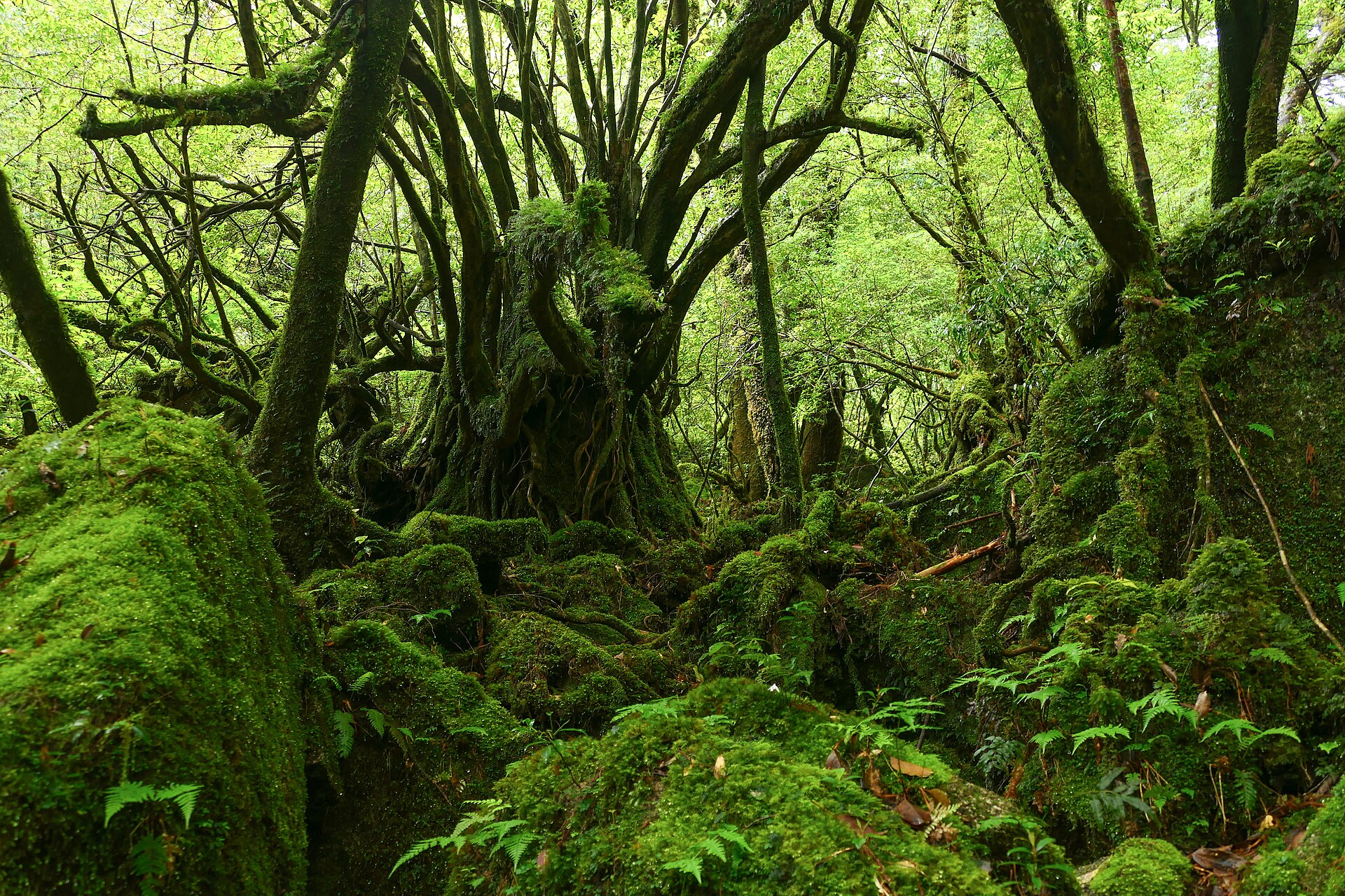
A forested ravine above Miyanoura on Yakushima, set aside as a natural recreation forest and laid out with three waymarked courses. Granite, ferns and deep moss line the Shiratani river, and old cedars stand within reach of a short walk.
- FromMiyanoura Port
- ~25-30 minRoute bus from the port
- Get off atShiratani Unsuikyo (Yakushima Kotsu bus)
- On foot
- Shiratani Unsuikyo
Where it is
1 more note in Kagoshima · open the map →What to look for — in walking order
- Ikoi-no-Oiwaa broad slab of rock a short way past the entrance, slippery when wet, with a bypass path for anyone in light shoes
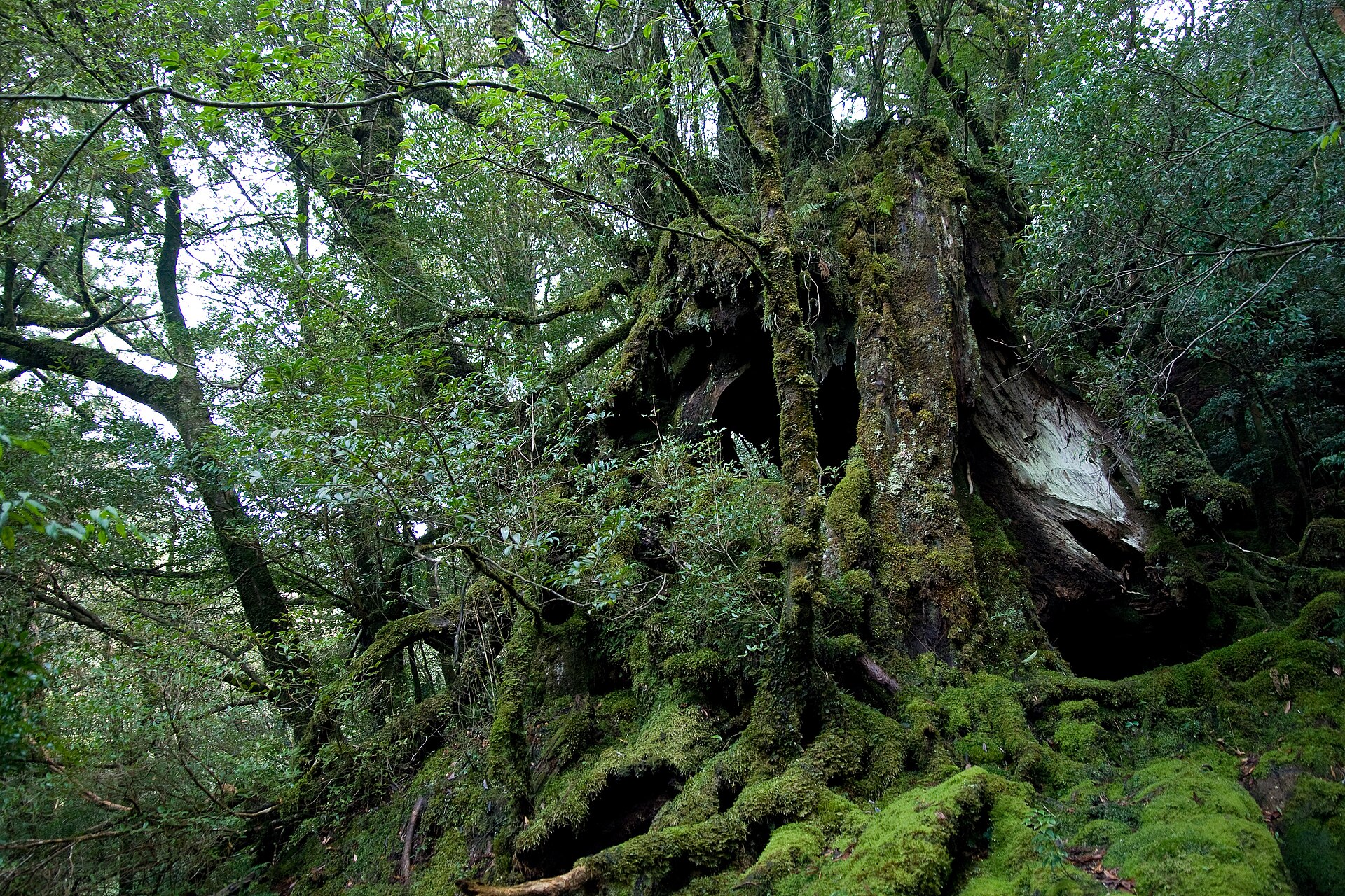
- Yayoi-sugithe cedar on the shortest course, put at roughly three thousand years old
- Satsuki suspension bridgethe crossing that opens the longer courses, back in use after typhoon repair work
- The moss-covered forestthe upper basin where moss carpets rock, root and fallen trunk without distinction
- Taikoiwaa rock ledge at the far end of the long course, looking across to the island's interior peaks
How to actually get there
- Miyanoura Port → Shiratani Unsuikyo (Yakushima Kotsu route bus up the prefectural road; a rental car or taxi takes the same road).
- Pay the forest maintenance contribution at the management hut and ask which courses are open that day.
- Walk one of the three courses — Yayoi-sugi, Bugyo-sugi, or the return trip to Taikoiwa — and come back down the same way.
- Take the bus back to Miyanoura Port from the same stop.
- Route bus from Miyanoura Port
- Yakushima Kotsu runs a route bus up the prefectural road from Miyanoura Port to the Shiratani Unsuikyo stop, which is the trailhead itself. Departures on this line are few, so check the day's timetable before you settle on a course. A rental car or taxi climbs the same road.
- Back down to Miyanoura
- The same line runs back down to Miyanoura Port. Because departures are few, fix your return before you start walking rather than after. If you miss it, a taxi called up from Miyanoura is the only way down.
About the place
The ravine sits above Miyanoura on the northern side of Yakushima. It is the one part of the island's old forest you can reach on a road instead of a long climb. Three waymarked courses share a single entrance and separate by how far up the valley you are willing to go. Water is everywhere here: the Shiratani river runs down the middle, and ferns and moss cover the granite so completely that the rock itself reads as green. Cedars past a thousand years old are the ones islanders call yakusugi, and several stand within an easy walk of the gate.
How to enjoy it
Time is the thing to plan around: the Yayoi-sugi course runs about sixty minutes, the Bugyo-sugi course about three hours, and the return walk to Taikoiwa about four. Choose the one that fits the bus you can catch back, not the one that fits your ambition. Rain here is normal rather than bad luck, so bring a shell and treat wet rock as the real hazard.
Background & history
Yakushima's cedars were cut under the Satsuma domain from the Edo period, when islanders paid their land tax in hiraki, roof shingles split from the wood, instead of in rice. The island's distance from the mainland and its extraordinary rainfall let the forest grow back over what had been taken. Shiratani was later set aside as part of Yakushima's natural recreation forest, a designation that turned it from a place to cut timber into a place to walk. The paths, the hut and the bridges in use today all follow from that.
Before you go
- Cash
- The management hut at the entrance collects a forest maintenance contribution. The amount has been revised recently, so read the notice at the hut rather than an older guide. Island buses do not take nationwide IC cards: Yakushima Kotsu uses its own Rapica and Iwasaki cards, and Matsubanda takes no IC at all. Carry cash.
- Before you go
- Entry is refused while a weather warning is in force, and courses are restricted when the streams inside the forest run high; the operator has recently revised its foul-weather rules. Snow can close the road in winter. The Satsuki suspension bridge and the Bugyo-sugi course, shut after typhoon damage, have reopened after repair work.
- Another way
- From Yakushima Airport or Anbo Port on the east coast, a rental car reaches the same entrance. Coming by bus from the Anbo direction, you change at Oharamachi rather than riding straight through.
- After you get off
- Shiratani Unsuikyo is the end of the line, and the stop sits directly at the entrance beside the management hut and the car park. There is no walk in from the road.