Hokkaido · ChitoseNo.886★★Open in map →
Lake Okotanpe
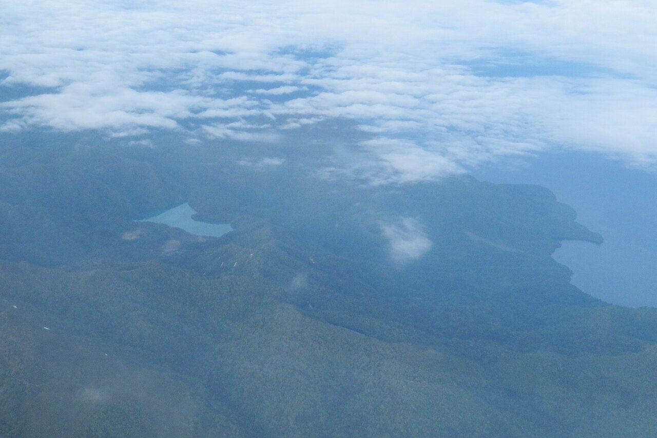
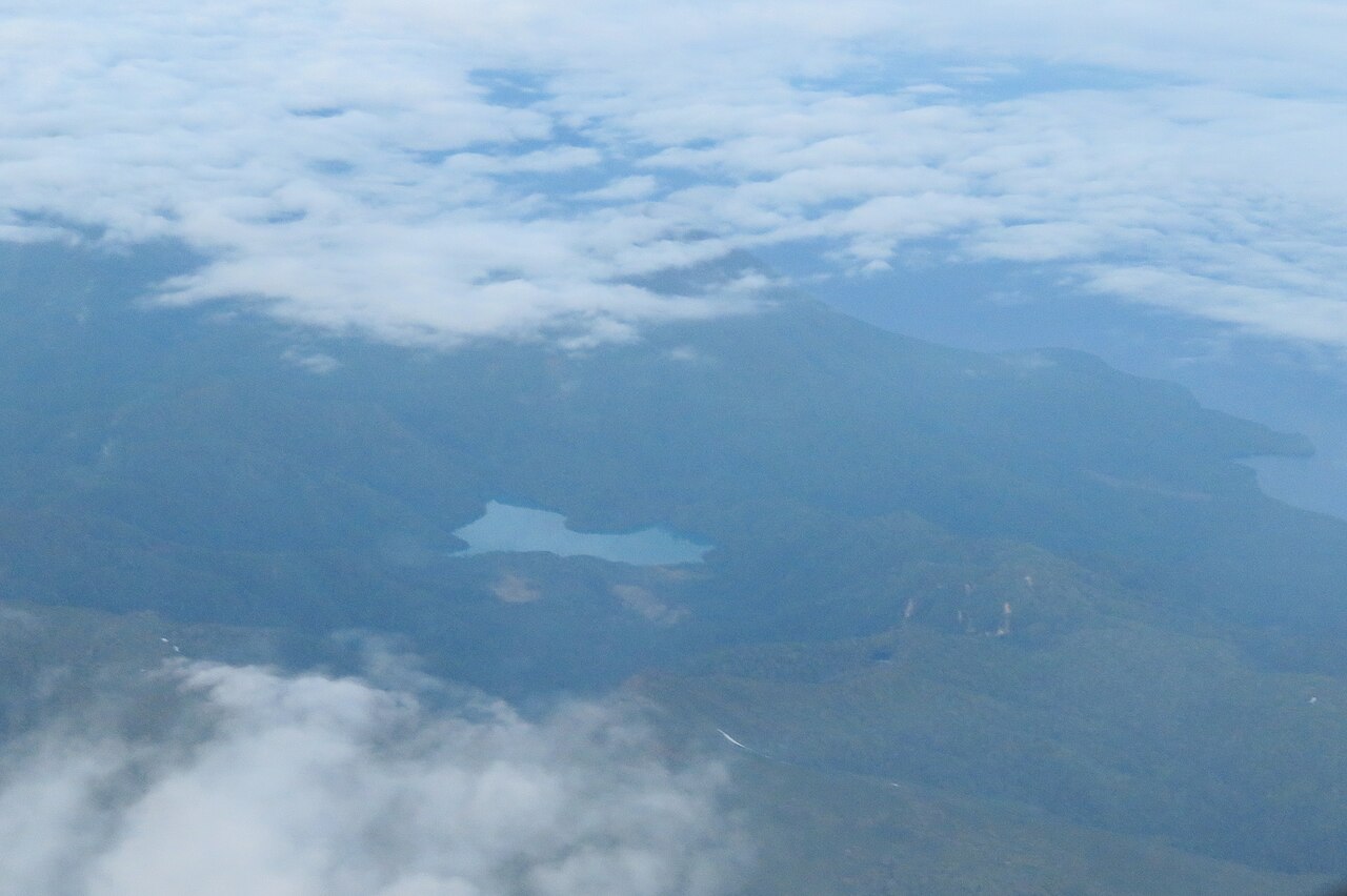
A lake held behind Mount Eniwa's own volcanic debris, in forest above Lake Shikotsu. One of Hokkaido's three secret lakes, seen only from a roadside viewpoint, with no path down to the water.
- FromChitose Station
- ~50 min by carCar or taxi, no bus
- Get off atLake Okotanpe viewpoint (Hokkaido Route 78)
- From there
- Lake Okotanpe
The sweet spot
Nothing here is hidden — the viewpoint is signposted and has a free car park. What keeps the place quiet is that there is nothing to do at it. You look, and then you drive away. No bus runs up here, the onward road has been closed for years, and in winter the whole approach shuts, so the lake only ever gets the traffic that deliberately turns off for it.
Where it is
102 more notes in Hokkaido · open the map →What to look for — in walking order
- The Okotan junction on Route 453the turning off the Shikotsu road where the climb to the viewpoint begins
- The Route 78 viewpointa roadside pull-in with free parking, the one place the lake is visible
- The colour of the waterreported to run from cobalt blue to emerald green depending on light and angle
- The forest ringunbroken woodland down to the waterline, with no beach and no path in
- Mount Eniwathe volcano on the east side whose debris dammed the valley in the first place
How to actually get there
- Chitose Station or New Chitose Airport → Route 453, heading for Lake Shikotsu.
- At the Okotan junction, turn onto Hokkaido Route 78, the Shikotsuko line.
- Climb to the roadside viewpoint and park; the lake appears below on your right.
- Return the same way — the road on towards Bifue is closed.
- Drive from Chitose Station or the airport
- Head for Lake Shikotsu on Route 453, then turn onto Hokkaido Route 78, the Shikotsuko line, which climbs to the viewpoint above the lake. Chitose City's tourism office and the Hokkaido travel guide both put the drive from JR Chitose Station at about fifty minutes. There is no bus on Route 78, so without a car this is a taxi from the Shikotsu lakeside.
- Back down to Route 453
- The viewpoint is not a through route any more, so the return is the way you came, down Route 78 to the Route 453 junction. From there it is Lake Shikotsu and Chitose in one direction, or the Toya side in the other. Fuel and food are on Route 453, not up here.
About the place
Lake Okotanpe lies on the western flank of Mount Eniwa, in the hills west of Lake Shikotsu. It is a dammed lake: material thrown out by the volcano blocked the valley, and water gathered behind it. The shore runs about five kilometres around, and unbroken forest comes down to the water on every side, so there is no beach, no jetty and no track to the edge. What people come for is the colour, which is reported to shift between cobalt blue and emerald green with the light and the angle of view. Together with Onneto and Lake Shinonome it is counted among Hokkaido's three secret lakes.
How to enjoy it
This is a stop, not a destination — half an hour at the rail is plenty, and the light matters more than the hour of the day, so an overcast sky flattens the colour that people drive up for. Build it into a Lake Shikotsu day rather than a trip of its own: the visitor centre by the lower lake is about twenty minutes back down the hill.
Background & history
The name comes from Ainu — o-kotan-un-pe, read as the place with a village downstream — and it describes the river rather than the lake. The lake itself is younger than the mountain beside it: Mount Eniwa's eruptions dropped enough material into the valley to dam it, and the water backed up behind. The pairing with Onneto and Lake Shinonome as the three secret lakes is a much later, tourist-era grouping, and it says something accurate about all three — they are lakes without towns, kept at arm's length by the forest.
Before you go
- Cash
- Nothing is charged. The viewpoint and its car park are free, and there is no ticket office, shop or vending machine at the top.
- Before you go
- The section of Route 78 past the viewpoint, running on towards the Bifue campsite, has been closed since a slope collapse in June 2020, and Chitose City still lists it as shut. The stretch from Route 453 up to the viewpoint remains open. The road is closed altogether through the winter, roughly from late November until the end of April.
- Another way
- Route 453 also comes up from the Toya and Kimobetsu side, so the junction for Route 78 can be reached without going through Chitose at all. The lake is worth pairing with Lake Shikotsu, down the hill, where the national park visitor centre is.
- After you get off
- The viewpoint sits directly on Route 78, with parking at the roadside. There is no descent to the water — the view is from the guard rail, over the tops of the trees below.