South Hokkaido · ErimoNo.889★★Open in map →
Lake Toyoni
A forest lake behind the Erimo coast, known across Japan for the heart it draws when seen from above. It is the one natural lake in the Hidaka district, and a gravel road that closes for the winter is the only way to it.
- FromTokachi-Obihiro Airport
- ~2 hr by carCar only, gravel forest road
- Get off atLake Toyoni car park (Saruru forest road)
- From there
- Lake Toyoni
The sweet spot
This is less a hidden lake than an awkward one. The heart only resolves from above, so the picture that made the place known is not the picture you get from the shore. Reaching it means driving gravel, and which stretch of that gravel is open changes with the weather. A famous outline and a difficult approach do not cancel out — they simply keep the car park small.
Where it is
102 more notes in Hokkaido · open the map →What to look for — in walking order
- The turning on Route 336the roadside signboard on the coast highway where the forest road heads inland
- Saruru river forest roadgravel and unmade in places, with one stretch closed after heavy rain
- The car parkthe end of the drive, with the last of the approach left on foot
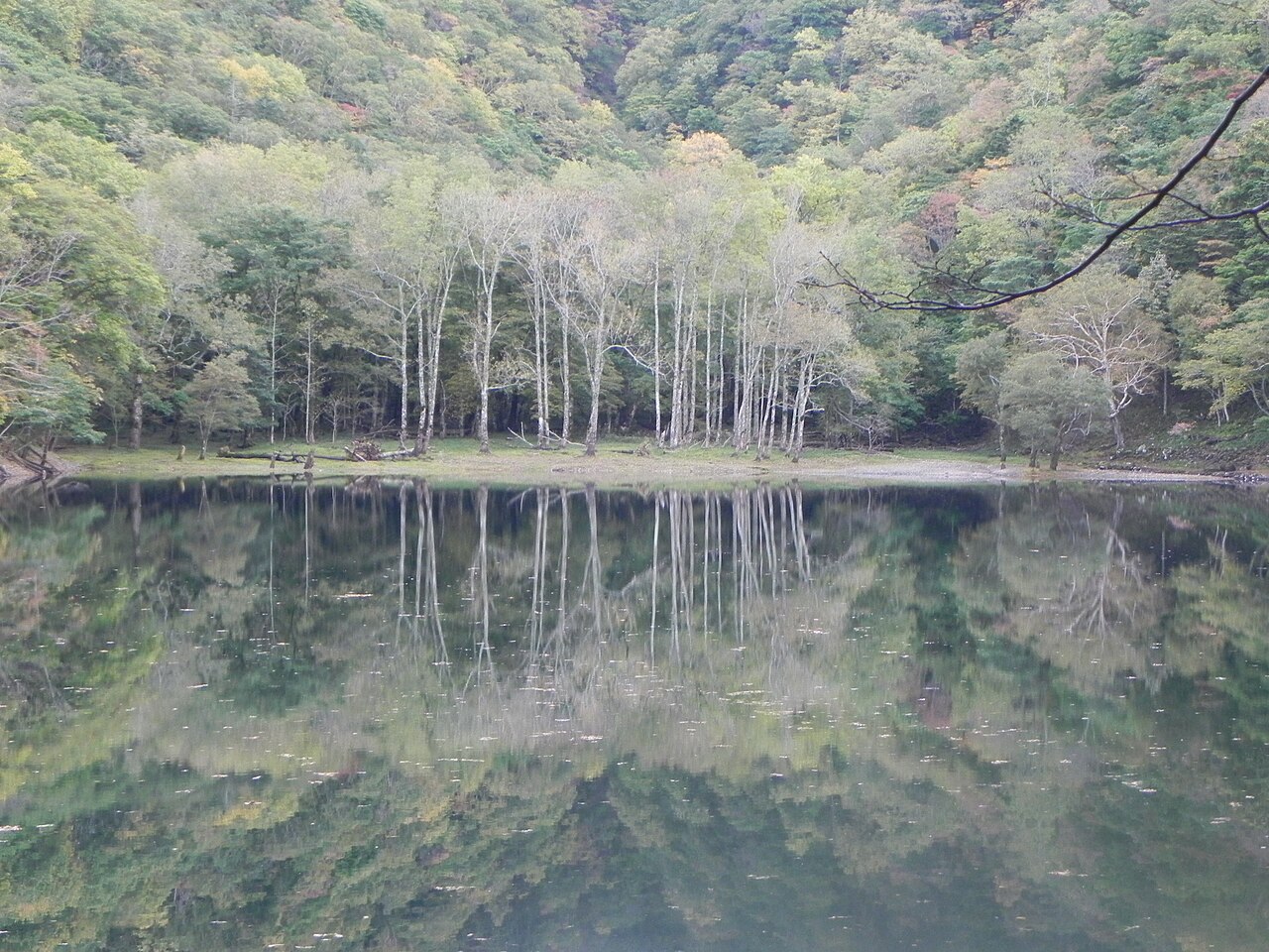
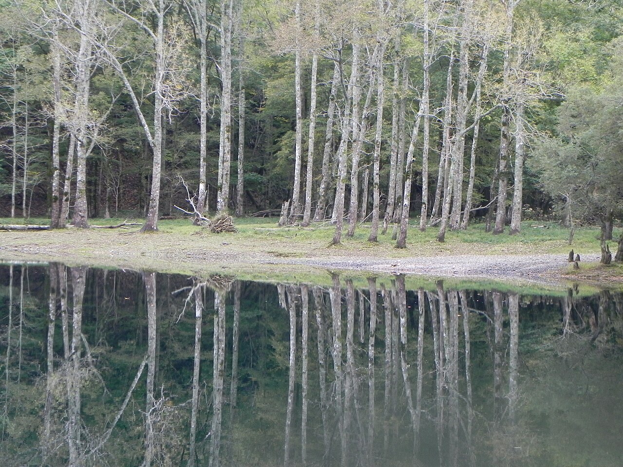
- The shorelinerough natural ground, no built path and no viewing platform above the water
- The forest around the lakeunlogged woodland holding rare plants and animals the town asks visitors to leave alone
How to actually get there
- Join Route 336, the coast highway running between Hiroo and Erimo.
- Turn inland at the Lake Toyoni signboard, onto the forest road along the Saruru river.
- Check the town's current road map, then follow the open route to the car park.
- Walk the last stretch down through the forest to the shore.
- Drive in from the Tokachi side
- There is no bus and no railway. Take Route 336, the coast highway, towards Cape Erimo and turn inland at the Lake Toyoni signboard onto the forest road that follows the Saruru river. From Tokachi-Obihiro Airport the whole run takes about two hours. The town warns that the gravel defeats large coaches and low-slung cars.
- Out the same way, in daylight
- The forest road is the only exit, and it has blind curves and dips worn into the surface. Give yourself enough margin to be back on the coast highway before the light goes, and do not count on the closed section reopening as a short cut home.
About the place
Lake Toyoni sits at the head of a valley inland from the Erimo coast, closed in by forest on every side. The shore runs about one kilometre around and the water reaches eighteen metres at its deepest. From the bank it reads as a small pond with trees standing straight down into it. From the air it reads as a heart, which is where the nickname Heart Lake comes from. Locally the same outline has long been read as a horseshoe instead, and the older name for it is the horseshoe lake. It is described as the only natural lake in the Hidaka district.
How to enjoy it
Treat it as the best part of a day. About two hours of that is driving from Tokachi-Obihiro Airport, and the final forest section is slow. Go in the green months, since the road is not cleared of snow, and read the town's road map on the morning you set out rather than the week before — which stretch is open moves with the rain.
Background & history
The lake was a landmark long before the land around it had a formal name. That came in June 2024, when the Hidaka Mountains, Erimo and Tokachi National Park was designated — the thirty-fifth national park in the country, and the largest of them by area. The ministry's announcement names this lake directly, alongside the Hidaka range, Mount Apoi and Cape Erimo, as one of the features the park was drawn around. Designation surfaced no roads and built no viewing platform. What it changed is the standing of the forest the road runs through.
Before you go
- Cash
- There is no admission charge and the car park costs nothing. Nothing is sold at the lake, so buy what you need on the coast road before you turn inland.
- Before you go
- The forest road is not ploughed, so from the first snow until the thaw the lake is out of reach by car. One stretch of the approach is closed after heavy rain; Erimo town publishes a map marking the route currently open, and it is worth checking on the day. The ground at the shore is rough and unmade.
- Another way
- The coast highway reaches the turning from two directions — down from Hiroo on the Tokachi side, or round Cape Erimo from the Hidaka side. Both funnel into the same forest road, so the choice is which way you arrive, not a second way in.
- After you get off
- The drive ends at the car park above the lake. From there the shore is a short walk through natural forest on uneven ground, with no surfaced path and no railing at the water.