East Hokkaido · KiyosatoNo.868★★Open in map →
Kaminoko Pond
— A spring-fed blue pool on the back road to Lake Mashu
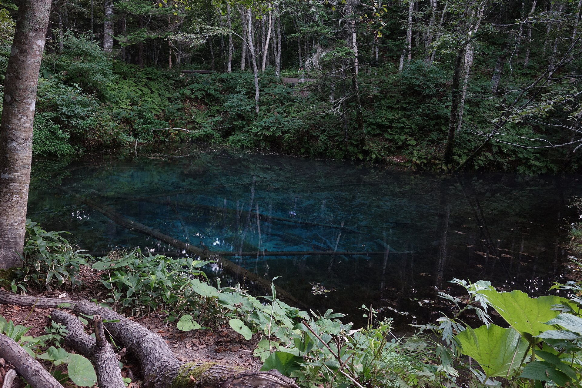
A small spring-fed pond in the forest above Kiyosato, in east Hokkaido, at the end of a gravel forest road. The water comes up blue and clear enough to show the fallen trees lying whole on the bottom, and it never freezes.
- FromKiyosatocho Station
- ~40 min by carRental car, no bus
- Get off atKaminoko Pond entrance (Hatoi Forest Road)
- On foot
- Kaminoko Pond
The sweet spot
This is not an unknown pond. It sits on the town's own list of sights, and a signboard marks the spot at the end of the forest road. What keeps it from filling up is the approach: no bus comes here, the last part of the track is loose gravel with shoulders that give way, large and medium vehicles are barred, and the mobile signal thins out. Everyone standing at the water drove the same track in.
Where it is
102 more notes in Hokkaido · open the map →What to look for
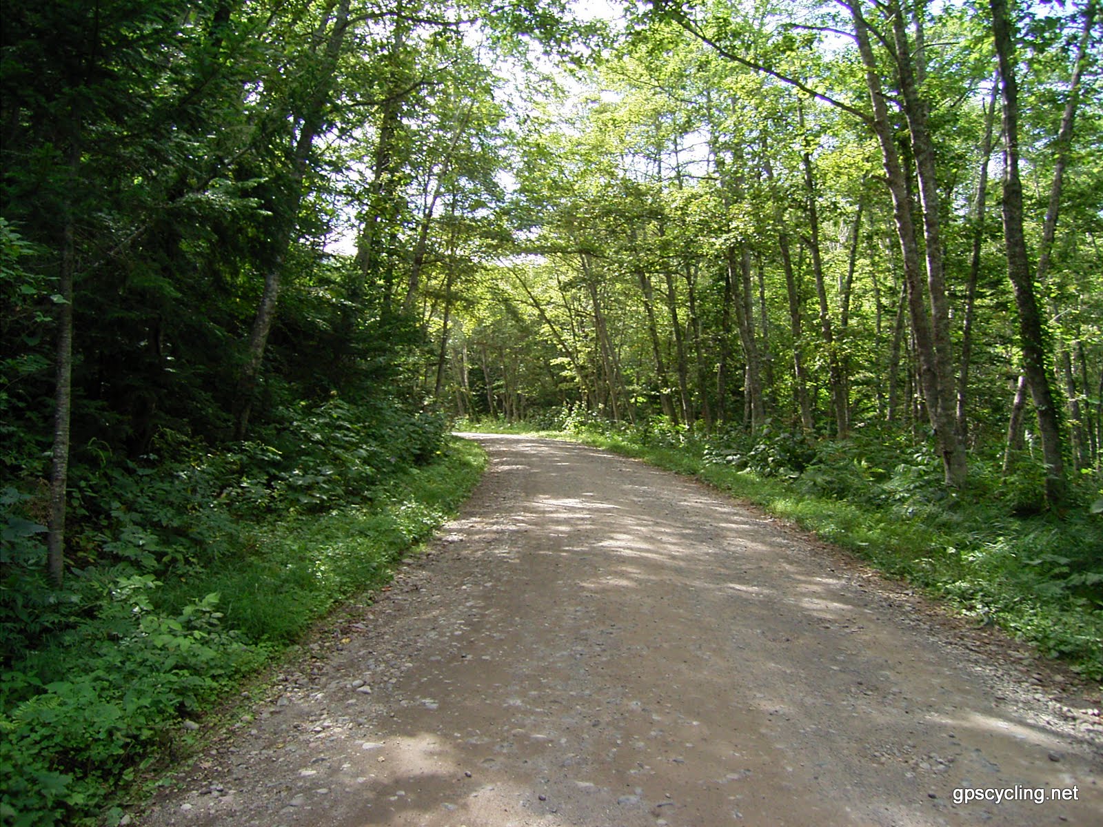
- The forest-road entrancea signboard where the gravel track reaches the pond, with the path in beside it
- The walkway at the edgea short deck along the bank of a pool about 5 metres deep
- The sunken treesfallen trunks lying whole on the bottom, held by water that stays at 8°C
- Dolly Varden charsmall trout with red spots, moving between the trunks
- Ura-Mashu lookoutthe lowest of Lake Mashu's three rim decks, further on along the same prefectural road
How to actually get there
- Kiyosatocho Station → the Mashuko-Shari prefectural road toward Nakashibetsu, about 25 km by car.
- Turn right onto the Hatoi Forest Road and take roughly 2 km of gravel slowly; the shoulders crumble.
- Stop at the signboard and walk in to the water, staying on the walkway at the edge.
- Back on the prefectural road, carry on to the Ura-Mashu lookout for the lake itself.
- Rental car from Kiyosatocho Station
- No bus runs to the pond. From Kiyosatocho Station take the Mashuko-Shari prefectural road about 25 km toward Nakashibetsu, then turn right onto the Hatoi Forest Road and follow roughly 2 km of gravel to the signboard. Allow about 40 minutes when the surface is dry.
- The same track back out
- Come out the way you came in, back onto the prefectural road. Turning one way takes you on toward the Ura-Mashu lookout, which the town measures at about 37 km from Kiyosato; turning the other brings you back to town. There is no lighting on the forest road, so do not leave the return until dark.
About the place
Kaminoko Pond sits in forest on the road that runs behind Lake Mashu, in the town of Kiyosato. It is small, about 220 metres around, and no stream runs into it. Roughly 12,000 tonnes of spring water a day come up through the bed and leave by a single outflow, which joins the Satsutsu River and then the Shari. The blue is not a trick of the sky. The water is clear, the pool is deep enough for light to travel down, and pale volcanic ash on the bottom throws that light back up.
How to enjoy it
The forest road closes for the winter. The notice for the 2025 season put the barrier down on 1 December with no date set for reopening, because that depends on the thaw. The Ura-Mashu lookout keeps its own calendar, opening around 20 April and closing at the end of October. Put the two together and the window for doing both in one drive runs from late spring to late autumn.
Background & history
The caldera behind the pond was made by an eruption about 7,000 years ago, and Lake Mashu has filled it ever since. In Ainu the lake is Kamuy-to, the lake of the gods; this pond is its child, which is what the Japanese name says. The old account is that Mashu's water travels underground and surfaces here. Later testing pointed instead to rain and snow falling on the outer rim of the crater, which has not changed what the place is called.
Before you go
- Cash
- The pond is free to walk to, and the town lists no facilities along the forest road, so buy what you need and fill the tank in Kiyosato before you turn off.
- Before you go
- The forest road shuts for the winter and reopens once the snow has gone, with no date announced in advance. Work to clear fallen trees can close it at short notice at any time of year. Mobile coverage is poor around the pond, so download your map before you leave the sealed road.
- Another way
- Coming from the Mashu side, the same prefectural road climbs up from the Ura-Mashu lookout, which puts the pond at the end of the drive rather than the start. Memanbetsu and Nakashibetsu are the nearest airports for this corner of Hokkaido.
- After you get off
- The gravel ends at a signboard reading Kaminoko-ike, and the water is a short walk in from there. Keep to the walkway at the edge rather than stepping onto the spring bed.