South Chiba · KatsuuraNo.948★Open in map →
Ubara Risokyo
— A wooded headland walk on the Katsuura coast
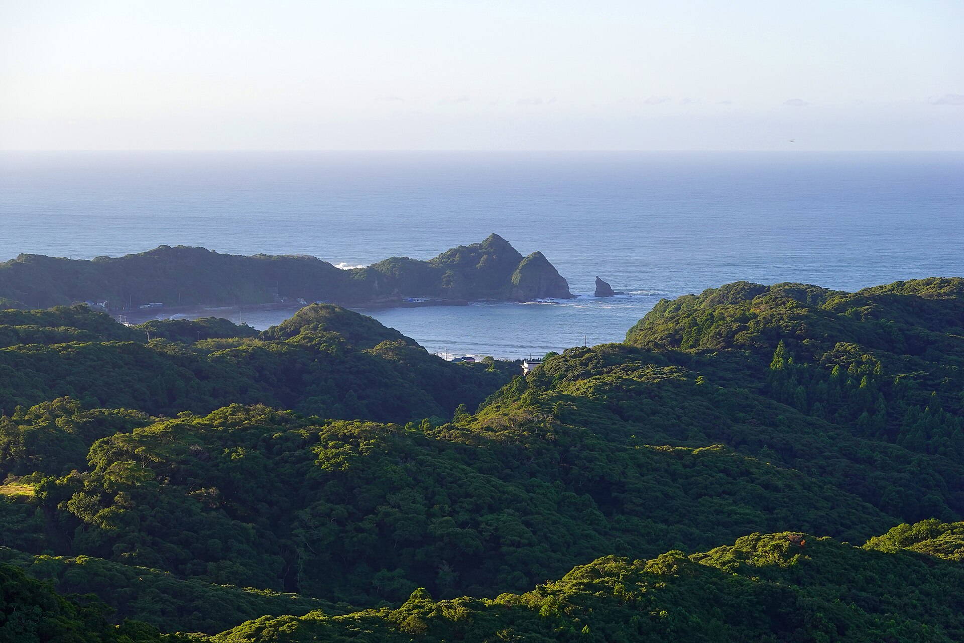
A wooded headland on the Katsuura coast, cut by the Pacific into inlets and capes and ringed by a signposted footpath. Five named lookouts along the way, a free car park at the trailhead, and no vehicles past the gate.
- FromTokyo Station
- ~1 hr 50 minLimited express, then one local stop
- Get off atUbara Station (JR Sotobo Line)
- On foot
- Ubara Risokyo
The sweet spot
This is a named scenic site with an official trail, not an undiscovered one. What keeps it quiet is one stop of distance: most visitors get off at Katsuura for the town and the morning market, and never ride the extra few minutes down the coast.
Where it is
50 more notes in Chiba · open the map →What to look for — in walking order
- Taoyame-dairathe first lookout, with a shelter and a view over Katsuura Undersea Park to the Hachiman headland
- Kedo-misakithe southernmost point of the loop, backed by a grove of wild camellia that flowers from winter into spring
- Hakuho-misakia sheer-ended cape with the traces of an old stone quarry and Ubara Island offshore
- Tasogare-no-okathe highest point on the loop, a four-sided shelter looking north-west over Ubara Bay
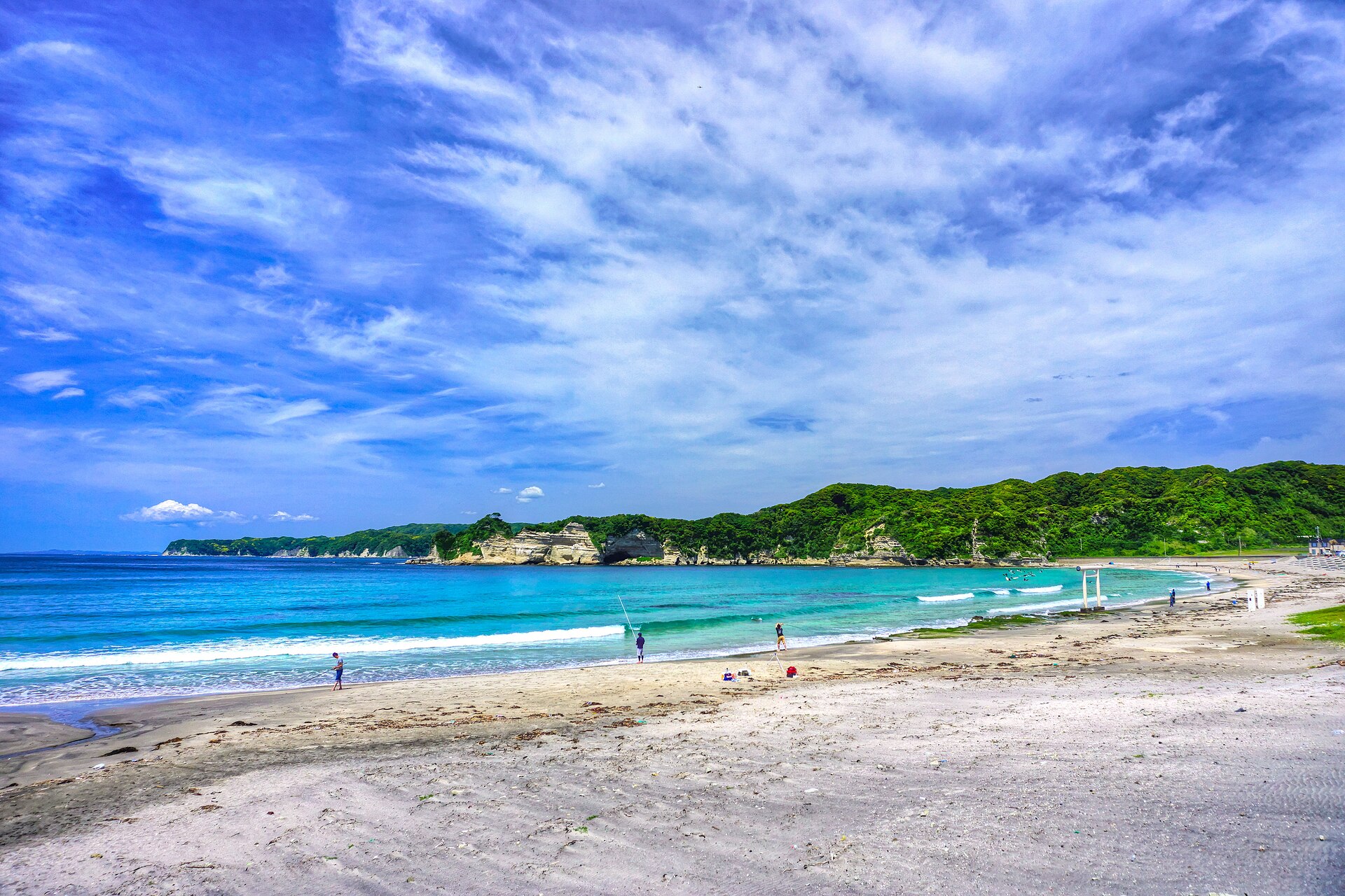
- Ubara Beacha shallow, sheltered bay on the national list of a hundred chosen shores
How to actually get there
- Tokyo Station → Katsuura Station (JR limited express Wakashio, about 1 hour 27 minutes).
- Katsuura Station → Ubara Station (JR Sotobo Line local, one stop).
- Ubara Station → the trailhead car park (on foot, through the two Ubara tunnels).
- Walk the loop in the signposted order: Taoyame-daira, Kedo-misaki, Hakuho-misaki, Tasogare-no-oka, then down to Ubara Beach.
- Limited express Wakashio, then one local stop
- Tokyo Station →(JR limited express Wakashio, about 1 hour 27 minutes)→ Katsuura Station →(JR Sotobo Line local, one stop, 3.6 km)→ Ubara Station, then on foot to the trailhead. The Wakashio leaves from the Keiyo Line platforms five levels below the main Tokyo Station concourse, so allow extra time inside the station itself. Sotobo Line local trains also run the whole way from Chiba.
- Return from Ubara Station
- Ubara is a small single-platform station, so read the return times off the platform board when you arrive rather than assuming a frequent service. Take the Sotobo Line back to Katsuura and change there for the Wakashio to Tokyo. Services thin out in the evening, so this works better as a daytime walk than a sunset one.
About the place
Ubara Risokyo covers the Myojin headland, on the coast south-east of Katsuura town. The Pacific has cut the rock here into a run of narrow inlets and blunt capes, wooded down to the waterline. One marked footpath loops the headland in 2,300 metres, starting and finishing at a small free car park. Past that car park the lane is closed to vehicles apart from local traffic, so the headland is walked rather than driven. Both the city and the local tourism association publish the route, and white granite waymarkers stand at the junctions.
How to enjoy it
Allow about an hour and a half to walk the loop at an unhurried pace. Taking it slowly is the point: the five lookouts each face a different way, and the contrast between the open Pacific to the south and the calm of Ubara Bay to the north-west is what the route is built around. Wild golden-rayed lilies flower along the path in early summer.
Background & history
The name dates from the early Taisho era, when a plan was floated to turn the headland into a villa resort. The scheme gave the place its label — risokyo, an ideal land — and the label outlasted the plan. Writers and painters came anyway: the poet Yosano Akiko stayed here in April and May of 1936 with a party of artist friends and left seventy-six tanka, and lines from them are cut into the oval waymarkers along the loop. A haiku stele for Shinoda Teijiro stands on the way to the first lookout.
Before you go
- Cash
- The car park at the entrance is free, and no admission is listed for the trail itself. Ubara Station has a simple IC reader rather than staffed gates, and Suica and the other transport IC cards work there.
- Before you go
- The tourism association describes the route as a gentle hill path that trainers can handle, but the surface is a woodland trail with steps and slopes. The city warns that the rock at Taoyame-daira has weathered to a bare face and that the tip of Hakuho-misaki is a sheer drop, and asks walkers to keep back from the edges. Parts of the loop cross private land, so stay on the waymarked route.
- Another way
- By car, Katsuura is about 50 minutes on Route 297 from the Ichihara-Tsurumai interchange via the Aqua-Line and the Ken-O Expressway, or about 1 hour 20 minutes on Route 297 from the Ichihara interchange via the Keiyo Road and the Tateyama Expressway. The car park at the trailhead holds ten cars or one coach, and there is no second car park on the beach side.
- After you get off
- From Ubara Station, walk about 150 metres down the city road toward the sea and turn left at the T-junction, toward the tunnels. Go through the first and second Ubara tunnels, turn right immediately after the second, and follow the gentle slope about 170 metres to the entrance, where a stone marker carries the name of the hiking course.