Hokkaido west · ShakotanNo.724★★Open in map →
Shimamui Coast
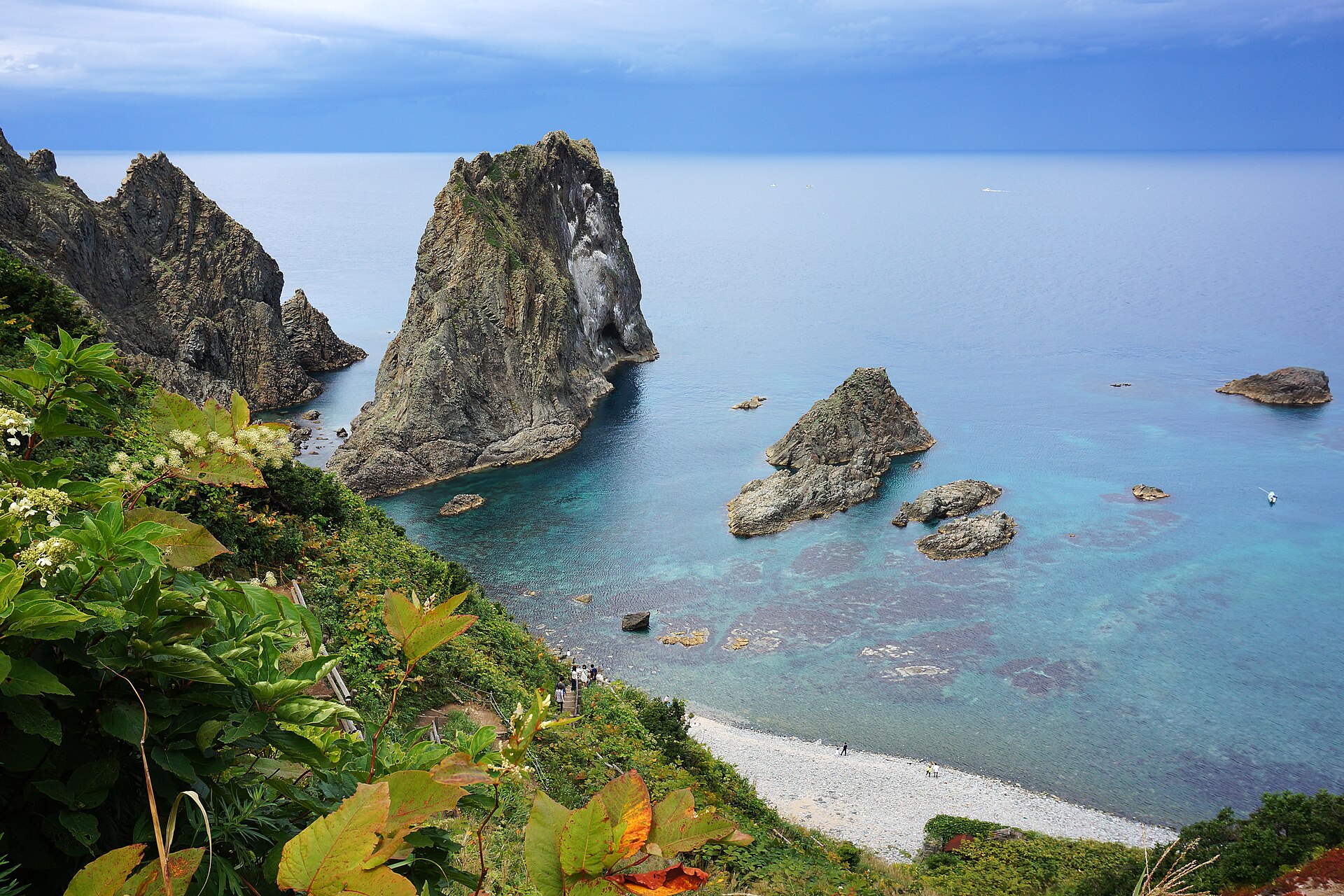
A passage cut through the headland rock by hand, and a viewing deck on the far side of it looking down on the water people here call Shakotan blue. The path down to the beach itself is closed.
- FromOtaru Station
- ~1 hr 55 minChuo Bus + community bus, summer timetable
- Get off atShimamui Kaigan Iriguchi stop (Shakotan community bus)
- On foot
- Shimamui Coast
The sweet spot
This is not an unknown place. It carries a national designation and the coach tours come. What thins the numbers is the season and the road: the bus connection runs on a summer timetable, the last leg has to be booked, and by late autumn the whole corridor shuts down.
Where it is
102 more notes in Hokkaido · open the map →What to look for — in walking order
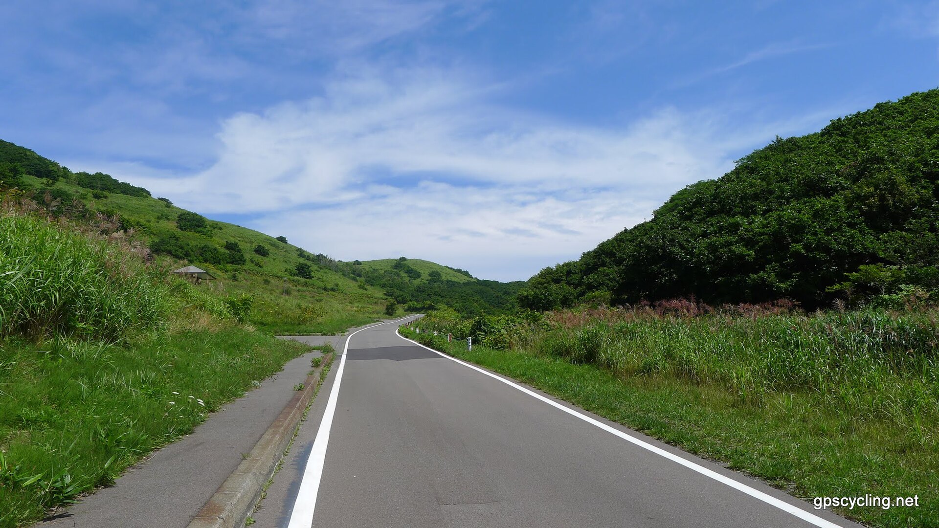
- The headland car parkthe free parking where the approach road ends, above the cove
- The hand-cut tunnela short unlit passage driven through the rock for the herring trade
- Shimamui viewing deckthe platform at the tunnel mouth, the only open part of the Shimamui path
- The stairway to the covethe descent to the beach, closed at the top; the cove is seen from above only
- Shakotan Cape clifftop paththe walk from the same car park, open as far as the Jorokoiwa lookout
How to actually get there
- Otaru Station → Bikuni Terminal (Chuo Bus, about 1 hr 20 min).
- Bikuni Terminal → Shimamui Kaigan Iriguchi (Shakotan community bus; book ahead).
- Walk up to the headland car park, through the hand-cut tunnel, and out onto the deck.
- Back at the car park, take the Shakotan Cape clifftop path as far as the Jorokoiwa lookout.
- Chuo Bus to Bikuni, then the community bus
- From Otaru Station the Chuo Bus runs to Bikuni Terminal in about an hour and twenty minutes for 1,450 yen. The transfer to the Shakotan community bus is about ten minutes. Shakotan Town publishes the two timetables together as a single connection sheet for the summer season, 1 April to 30 November.
- Back to Otaru
- Return services are thin and they end early. On the town's connection sheet the community bus passes Shimamui Kaigan Iriguchi at 12:44, 14:04 and 15:54, and the Chuo Bus from Bikuni reaches Otaru Station at 14:39, 15:59 and 17:49. There is nothing after that.
About the place
Shimamui is on the north face of the Shakotan Peninsula, at Irika, where the cliffs run almost without a break. A passage was cut through the rock here by hand, to move herring up from the shore in the years when that fishery paid for this coast. The tunnel is short and unlit, and it ends at a deck set above a cove of pale stones. From there the water reads in bands, jade close in and deep blue further out — the colour the whole peninsula is named for. The cove is on Japan's national list of a hundred selected shores, and the sea below it lies inside a marine park zone of Niseko-Shakotan-Otaru Kaigan Quasi-National Park.
How to enjoy it
Come in the middle of the day. The colour this coast is named for only lifts out of the water when the light is high and the sea is flat, and there is nothing here to do after dark. The community bus reaches Shimamui Kaigan Iriguchi at 10:53 and the next service through is hours behind it, so build the Shakotan Cape clifftop path into the same stop rather than standing at the road.
Background & history
Herring built the settlements along this coast. The catch paid for fishing lodges, landing slips, walled boat pools and hauling roads, and their remains are still scattered across the peninsula. The tunnel at Shimamui belongs to that period — it was driven through the headland by hand so the fish could be carried up from the cove, and it is now the only way in. When the herring stopped coming the work went with it and the villages shrank. What outlasted the fishery was the shape of the shore itself, which the Sea of Japan is still cutting back into cliffs and stacks.
Before you go
- Cash
- The Chuo Bus leg from Otaru Station to Bikuni Terminal is 1,450 yen, and the town gives the full run through to Cape Kamui as 1,850 yen one way. Carry cash. Several community-bus departures run only if booked by phone in advance, so treat the reservation as part of the fare.
- Before you go
- The published connection is a summer one, 1 April to 30 November; outside those dates it is not there. The stairway down from the deck to the cove is closed and remains closed — only the deck is open. On the Shakotan Cape path the stretch between the Jorokoiwa lookout and the Horomui-side entrance is also shut, and the town warns that some of the steps are damaged.
- Another way
- By car, Route 229 runs the whole coast from Otaru and the approach road to the headland is signed off it. If Shimamui is out of reach, the Ogon-misaki path at Bikuni is open, with parking beside the tourist centre; the town asks walkers there to carry a bell against wild animals.
- After you get off
- The approach road up to the headland car park leaves the highway at this stop. At the car park the tunnel mouth is at the far end, and the deck is immediately on the other side of it.