West Ehime · Sadamisaki PeninsulaNo.645★★Open in map →
Sadamisaki Lighthouse
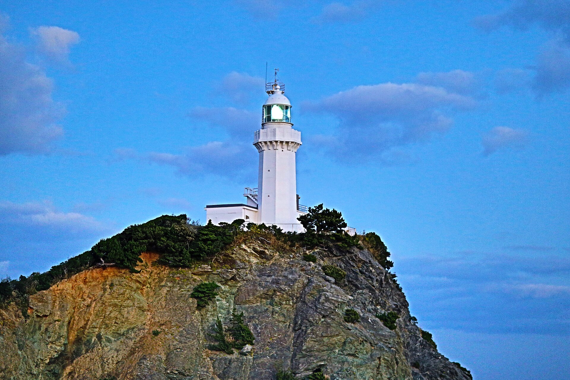
The western tip of Shikoku, where a white lighthouse stands at the end of a long, unusually thin peninsula. The Seto Inland Sea lies to the north, the open Uwa Sea to the south, and Kyushu sits across the strait.
- FromYawatahama Station
- ~2 hrCar or ferry, buses few
- Get off atMisaki Port (Iyotetsu bus / Kokudo 94 Ferry)
- From there
- Sadamisaki Lighthouse
The sweet spot
This is not an undocumented place. Both the prefecture and the town promote the cape, and it has been picked for a national scenic-views list. It stays quiet because it is far: the tip lies a long drive west of the nearest railway, and buses along the peninsula run only a handful of times a day, so most Shikoku itineraries turn back well short of it.
Where it is
30 more notes in Ehime · open the map →What to look for
- Route 197 Melody Linethe ridge road along the peninsula, with sea falling away on both sides
- Tsubakiyama Viewpointthe high vantage the town names for its view of the cape and the lighthouse
- Sadamisaki Lighthousea white tower at the westernmost point of Shikoku, reached on foot only
- Mobile searchlight sheltera wartime concrete structure near the tip, on a short looping path
- Sadamisaki gun battery sitemasonry and concrete remains of the battery that once watched the strait
How to actually get there
- Yawatahama Station → Misaki Port (rental car on National Route 197, the ridge road; under an hour).
- Misaki Port → the cape car park (continue west on the peninsula road by car or taxi; no bus serves this stretch).
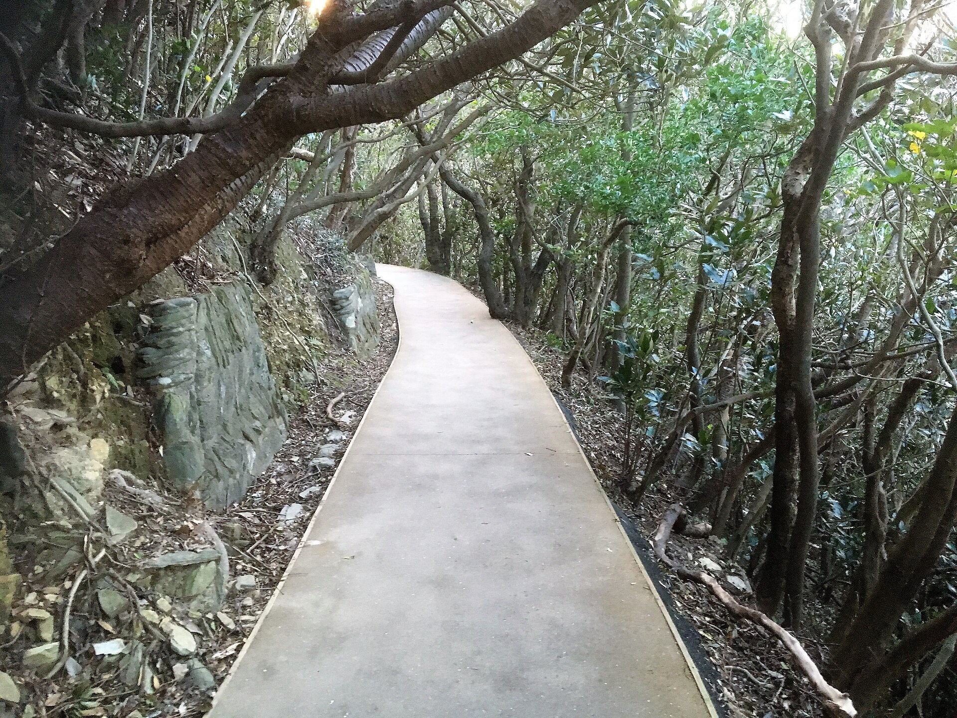
- Car park → Sadamisaki Lighthouse (paved walking path, about 20 minutes each way).
- Walk the short loop past the searchlight shelter and the battery site before starting back.
- Rental car west from Yawatahama on Route 197
- Yawatahama Station, on the JR Yosan Line, is the nearest railway station to Ikata town. From there National Route 197 runs west along the ridge of the peninsula and reaches Misaki Port in under an hour. Continue west past the port to the free car park at the cape, where the walking path to the lighthouse begins. Buses do run along the peninsula, but only a few times a day, so check the timetable before relying on one.
- Back east along the peninsula
- Return the same way, east on Route 197 towards Yawatahama. The cape path has no lighting and services on the peninsula thin out after dark, so start back while there is still light. If you are heading on to Kyushu instead of returning, the ferry berth is at Misaki Port on the way.
About the place
The Sadamisaki Peninsula runs west from Ikata town in Ehime, a narrow spine of hills dividing two different bodies of water. On the north side lies the Iyo-nada part of the Seto Inland Sea. On the south lies the open Uwa Sea. National Route 197 follows the ridge for most of the way, which is why it is known as the Melody Line, and along parts of it the sea is visible on both sides at once. Japanese sources describe this as the most slender peninsula in the country. Where the land finally runs out, a white lighthouse marks the westernmost point of Shikoku.
How to enjoy it
Aim for the late afternoon. The path from the car park to the lighthouse takes about 20 minutes each way, and Ehime's tourism site describes this as the place in Shikoku closest to the setting sun. On a clear day the Kyushu shore is visible across the strait. Because the path is unlit, plan to be walking back before the light goes.
Background & history
The water beyond the cape is the Hoyo Strait, the gap between Shikoku and Kyushu, and the military once treated it as a gate. Traces of that period survive within walking distance of the lighthouse: the site of the Sadamisaki gun battery, and a concrete shelter built to house a mobile searchlight, reached by a looping path. The crossing is peaceful now. Ferries run between Misaki Port on the peninsula and Saganoseki on the Kyushu side, and the ridge road later brought the whole cape within reach of a single drive.
Before you go
- Cash
- The walking path and the viewpoint are free, and the car park at the cape has about 40 spaces at no charge. The ferry and the peninsula buses are paid separately.
- Before you go
- The path to the lighthouse is outdoors and unlit. The tip is exposed to wind off both seas, weather can turn quickly, and there is no shelter along the way.
- Another way
- From Kyushu, the ferry from Saganoseki in Oita lands at Misaki Port on the peninsula, which puts the cape within a short drive of the berth.
- After you get off
- Misaki Port is the last point served by public transport. No bus continues to the cape, so the remaining stretch west is by rental car or taxi, ending at the free car park where the walking path starts.