Okinawa · Yaeyama, Japan's western edgeNo.693★★Open in map →
Yonaguni Island
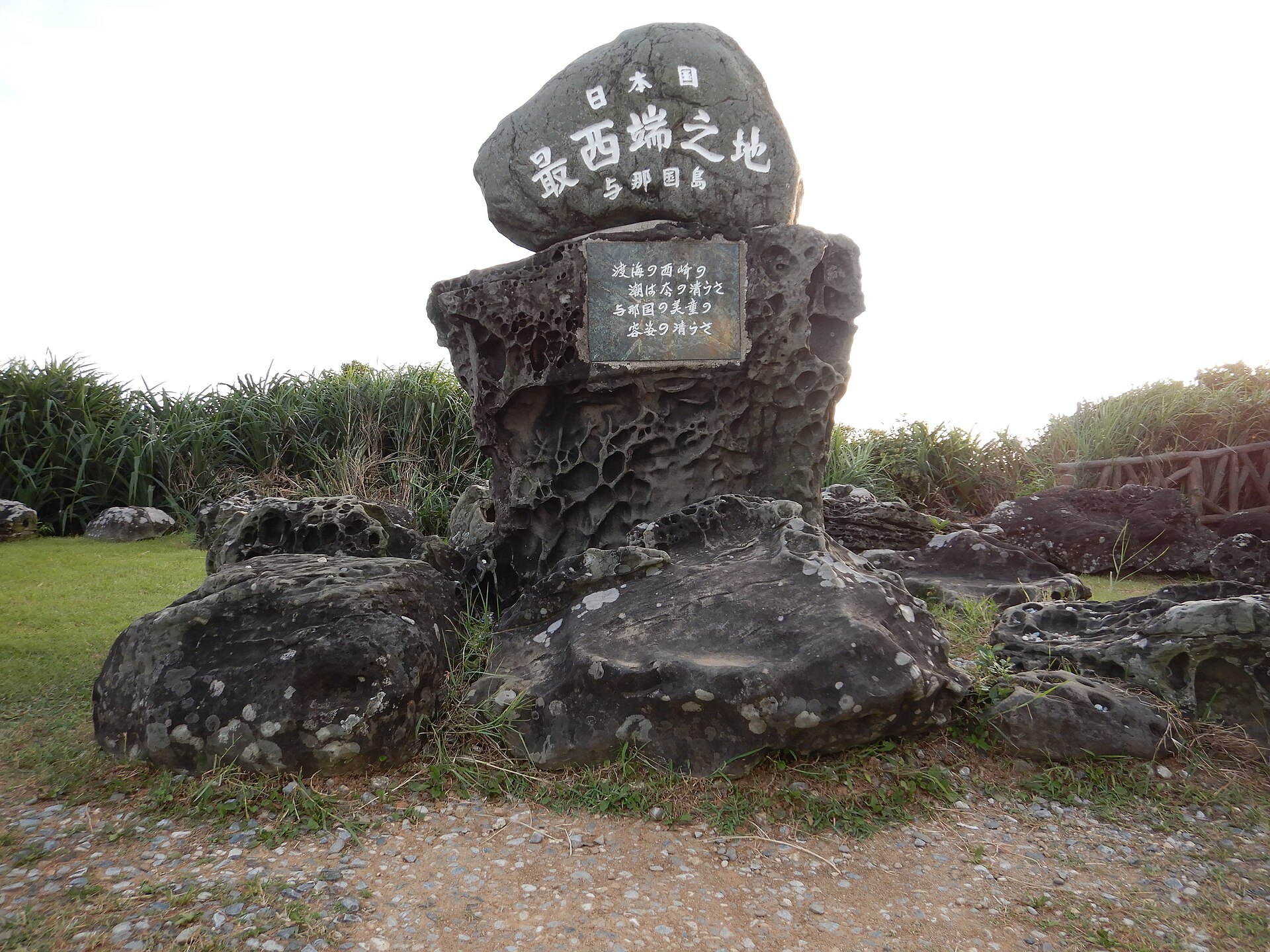
Japan's westernmost island, with Taiwan closer to it than the rest of Okinawa. At its western tip, Cape Irizaki carries the marker for the country's western edge and the last sunset that falls anywhere in Japan.
- FromYonaguni Airport (Ryukyu Air Commuter, from Ishigaki and Naha)
- ~15 minRental car, ~15 min from the airport
- Yonaguni Island
The sweet spot
Yonaguni is not obscure. Being the westernmost point in Japan is reason enough for people to fly here. What thins the crowd is distance and timetable: the aircraft are small and infrequent, the ferry runs twice a week, and between the airport and the cape there is nothing but grazing land. Most visitors are at Irizaki for the sunset and scattered thinly everywhere else.
Where it is
Open Okinawa in the map →What to look for — in walking order
- Cape Irizakithe westernmost point marker, a lighthouse and a viewing deck above the sea
- Kubura-baria cleft in the coastal rock tied to the island's poll-tax legends
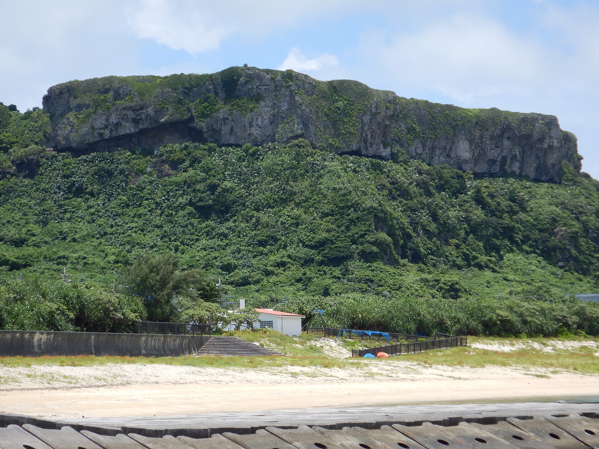
- Tindabanaa cliff terrace above Sonai village looking down over the north coast
- Tategami-iwaa free-standing rock pillar off the east coast, seen from a roadside deck
- Agarizakithe eastern cape, an open headland grazed by native Yonaguni horses
How to actually get there
- New Ishigaki Airport → Yonaguni Airport (Ryukyu Air Commuter).
- Yonaguni Airport → collect a pre-booked rental car or bicycle.
- Airport → Cape Irizaki via Kubura village (about 15 min by car).
- Irizaki → back east on the loop road for Tindabana, Tategami-iwa and Agarizaki.
- Fly in from Ishigaki
- Ryukyu Air Commuter flies to Yonaguni Airport from New Ishigaki Airport and from Naha, a handful of departures a day rather than an hourly service. From the airport, Cape Irizaki is about 15 minutes by car through Kubura village. Book a rental car before you arrive, because the island's fleet is small.
- Return from Yonaguni Airport
- Flights back to Ishigaki and Naha leave from the same small terminal. Wind and typhoons cancel services here, so leave a buffer day before any onward connection you cannot afford to miss.
About the place
Yonaguni sits at the western end of the Yaeyama chain, a long east-west island that islanders liken to a sweet potato. Unlike its coral neighbours it is built of sedimentary rock, so it has real hills, and its southern coast is a run of cliffs cut by the open Pacific. Three villages hold the population: Sonai in the north, Kubura in the west, Higawa in the south, tied together by one loop road. Between them the land is pasture, and native Yonaguni horses graze loose on the eastern headland. On the clearest days the mountains of Taiwan stand on the horizon.
How to enjoy it
Build the day around the sunset, because Irizaki faces due west and the sun leaves the country here last. Come up in the afternoon, then take the loop road east afterwards. Keep the diving for a separate day: the formation off Arakawabana needs experience and a settled sea. A free community bus links the three villages, but the cape lies beyond the last stop, so a car or a bicycle is what decides how far you get.
Background & history
Yonaguni enters the written record through castaways: shipwrecked men from Jeju were taken in here under the Ryukyu Kingdom, and their description of the island survives in the Korean court annals. Under the kingdom and then Satsuma rule a poll tax fell on the island hard enough that its darkest legends are about thinning its own population. When Taiwan came under Japanese rule the strait turned into a trade route and the island filled; when the border was redrawn after the war, it emptied again. In 1986 a local diver found the stepped rock formation off the south coast that has been argued over ever since.
Before you go
- Cash
- Cape Irizaki costs nothing to visit and has a car park, a public toilet and no ticket gate. The island has a post office and a bank counter at Sonai, but there are few of either, so carry cash for fuel, meals and rentals.
- Before you go
- The cape is open ground on top of cliffs, and much of the edge has no railing. The south-facing coast takes strong wind all year. Typhoon season from summer into autumn shuts down both flights and the ferry. Camping outdoors, including sleeping in a vehicle, is prohibited across the island.
- Another way
- Fukuyama Kaiun's ferry Yonaguni sails from Ishigaki twice a week, out on Mondays and Thursdays and back on Tuesdays and Fridays, leaving at ten in the morning and arriving early in the afternoon. It is the slow way in, and the only way that is not a flight.
- After you get off
- From Yonaguni Airport the road runs west through Kubura village and past the harbour to the cape. There is a car park at the top, and the westernmost marker, the lighthouse and the viewing deck stand a few steps from it.